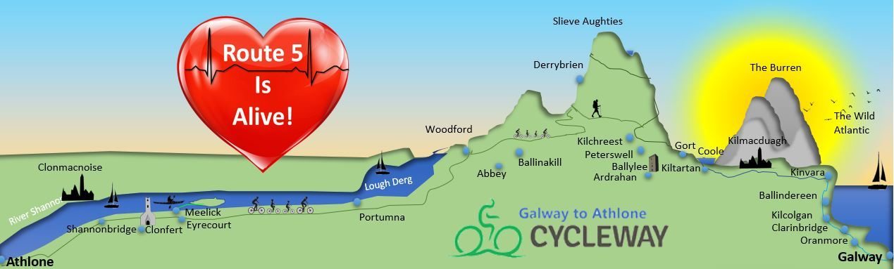


The Slieve Aughty Mountains are a mountain range spread over both County Galway and County Clare. The highest peak in the Slieve Aughty Mountains is Maghera in Clare which rises to 400m (1,314ft). The mountain range consists of two ridges divided by the Owendallaigh river which flows west into Lough Cutra. The rolling hills contain scattered remains of old villages, isolated houses and abandoned schools and imbue a legacy of small homesteads and turf cutting synonompus with the area. Woodford is situated to the East. Derrybrien is a tiny village close to the Slieve aughty Peaks. Kilchreest is a village at the base of the Slieve Aughties on the Road between Gort and Loughrea.
Here is snapshot of ‘Aughty’ from Tom Flanagan and Megs Morely
For the full video see : https://vimeo.com/60990916
Derrybrien
Derrybrien is a tiny village in County Galway, Ireland. It lies along the R353 road in the Slieve Aughty Mountains. It has apub called Egan’s Bar which was opened in 1948. Read the great story of great granny Patricia Egan serving greats like Daniel-Day Lewis, Daithi O’ Se and Bertie Aherne!

Things to do :
There is a host of activities in the Slieve Aughty Centre such as :

Slieve Aughty Trails.
These are relatively new trails that go from the village of Kilchreest up toward Gortnamanagh and down vi the Old Curragh Road and the Old Bog Road. See more details here: Note: The Old Bog Road won a Co. Galway ‘Golden Mile’ Award.

Lough Belsrah
This is a relatively unknown lake high in the Slieve Aughties and is at the peak of Sonnagh (there is a windfarm there currently).

Lough Belsrah (Photo : Declan Maher) 
Lough Belsrah (Photo : Declan Maher) 
Lough Belsrah (Photo : DAvid Murray)
